
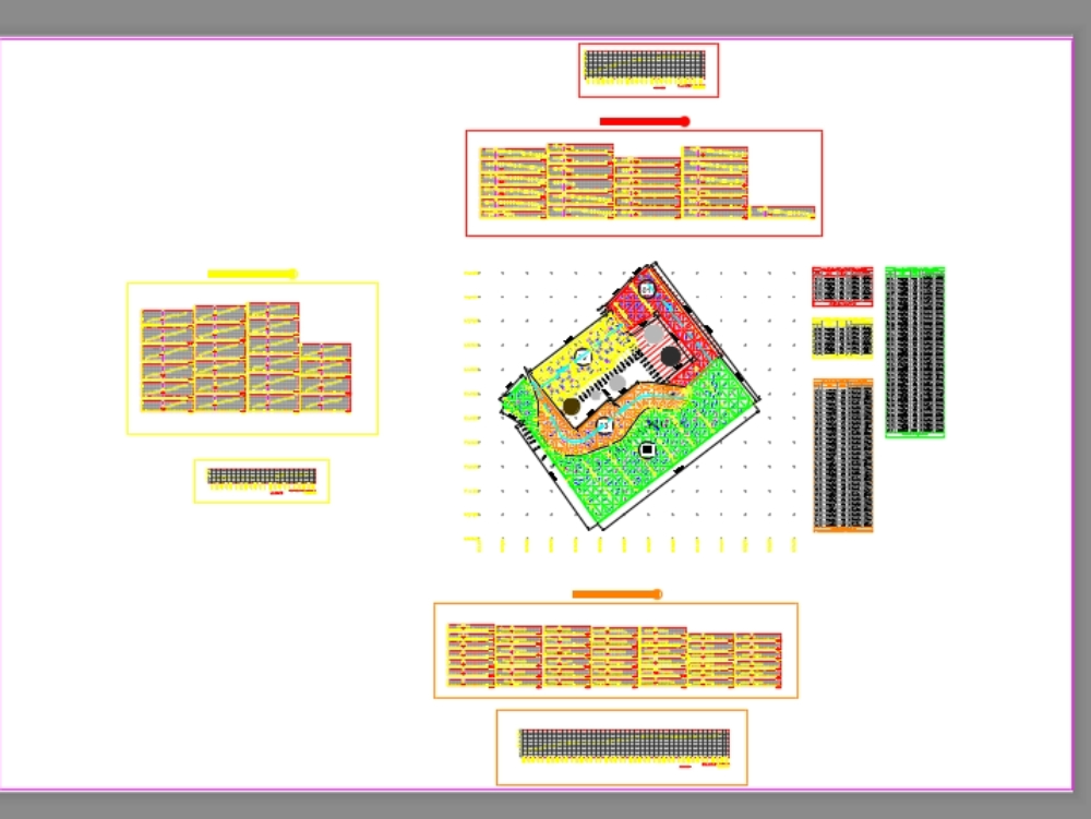
Development of altimetry with triangulation of a terrain. includes detail of contour lines and zoning, sections and charts of zones with references.
Confirma el mail en Facebook e intenta nuevamente.
Confirma el mail en Google e intenta nuevamente.
Your account is inactive. To request a reactivation you can contact us by email atsoporte@bibliocad.com.
.")