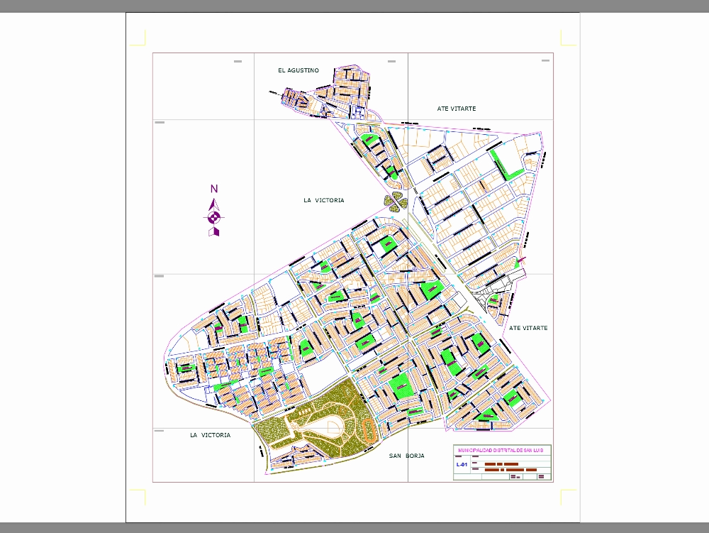
Cadastral map of the district of san luis in lima. it shows the division of the property into plots; their dimensions; boundaries and characteristics; such as buildings; access roads; etc. it is a fundamental tool for urban management and the administration of real estate.

.")