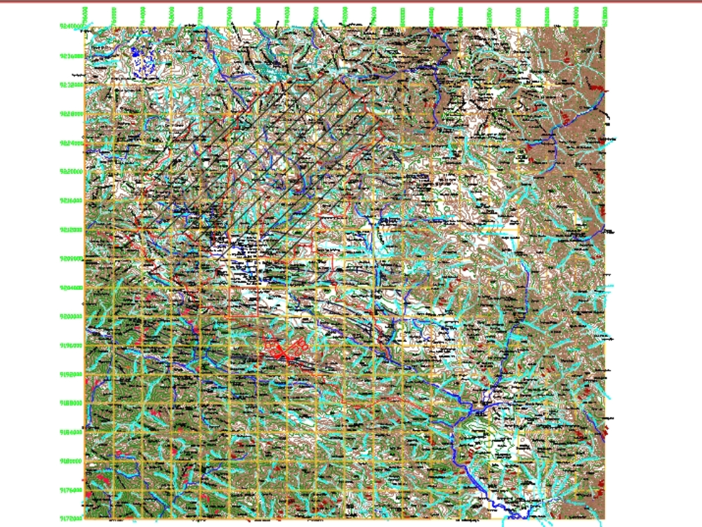
Cajamarca level curves dwg
↑ Scroll ↓
It shows the contour lines of the cajamarca and san marcos basins; this can be used to determine existing watersheds and also for road design.
Cargando social...
Cargando report...
8.8kViews
Cargando tags...
Related works
By using this website, you agree to our Cookies policy.

