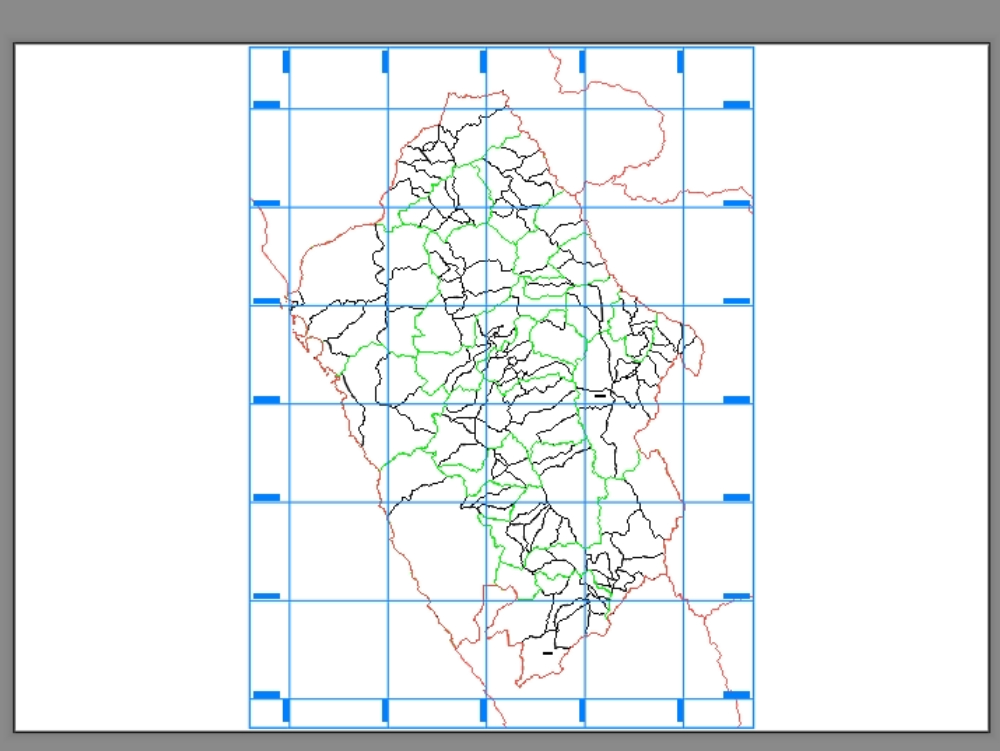
City map dwg
↑ Scroll ↓
City representation where political division is shown with their respective coordinates.
Cargando social...
Cargando report...
14.1kViews
Cargando tags...
Related works
By using this website, you agree to our Cookies policy.
City representation where political division is shown with their respective coordinates.
Confirma el mail en Facebook e intenta nuevamente.
Confirma el mail en Google e intenta nuevamente.
Your account is inactive. To request a reactivation you can contact us by email atsoporte@bibliocad.com.
