City dwg
↑ Scroll ↓
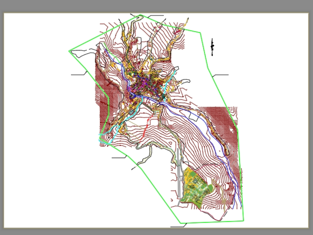
Graphic representation of a city where main and secondary roads, blocks, lots, hydrography and topographic curves are shown. presents general planimetry.
Cargando social...
Cargando report...
10kViews
Cargando tags...
Related works
By using this website, you agree to our Cookies policy.

