City dwg
↑ Scroll ↓
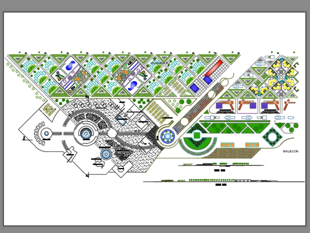
Graphic representation of a city showing main roads, secondary roads, and blocks. presents general planimetry and longitudinal sections.
Cargando social...
Cargando report...
8.1kViews
Cargando tags...
Related works
By using this website, you agree to our Cookies policy.

