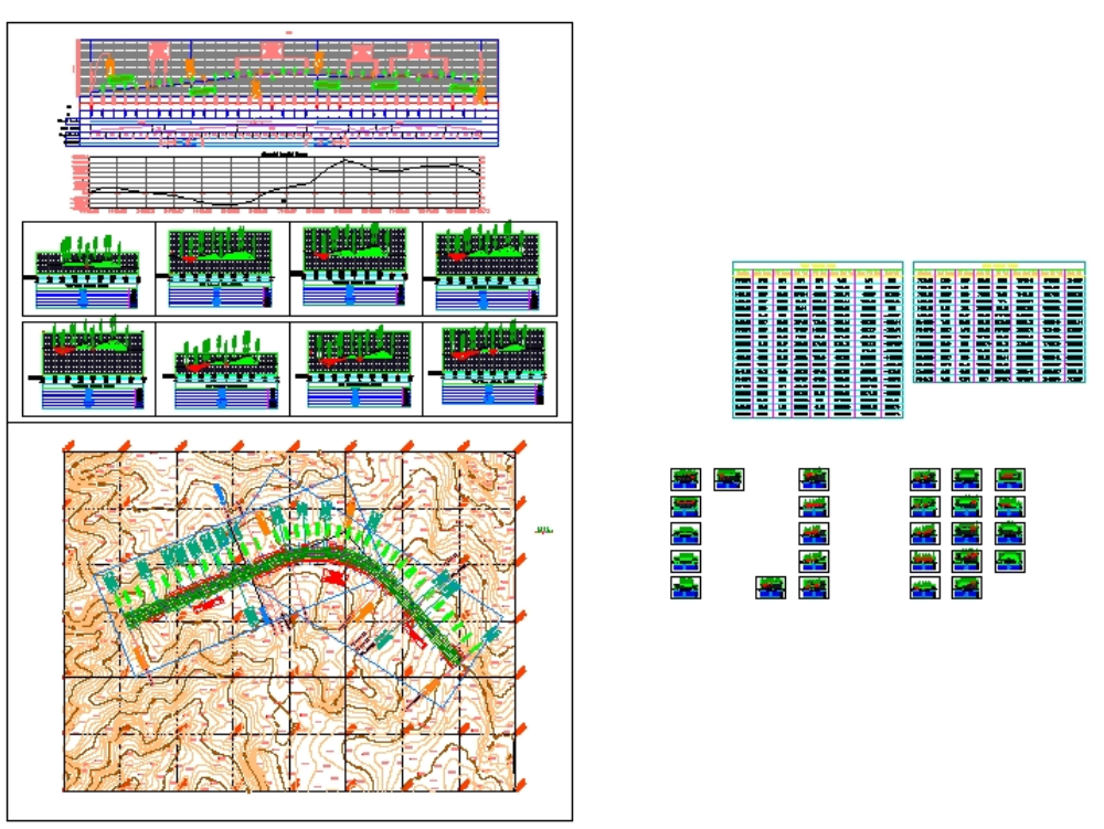
Civil engineering thesis of a student. plan a path dwg
↑ Scroll ↓
In this little project; a short route was modeled using civil software. this is; of course; an auto cad file this complete project has all the maps in geometric top view of the longitudinal profile of the project section of the cross sections of the ground operations volumes and so on. it is also at the end of the game.
Cargando social...
Cargando report...
5.4kViews
Cargando tags...
Related works
By using this website, you agree to our Cookies policy.

