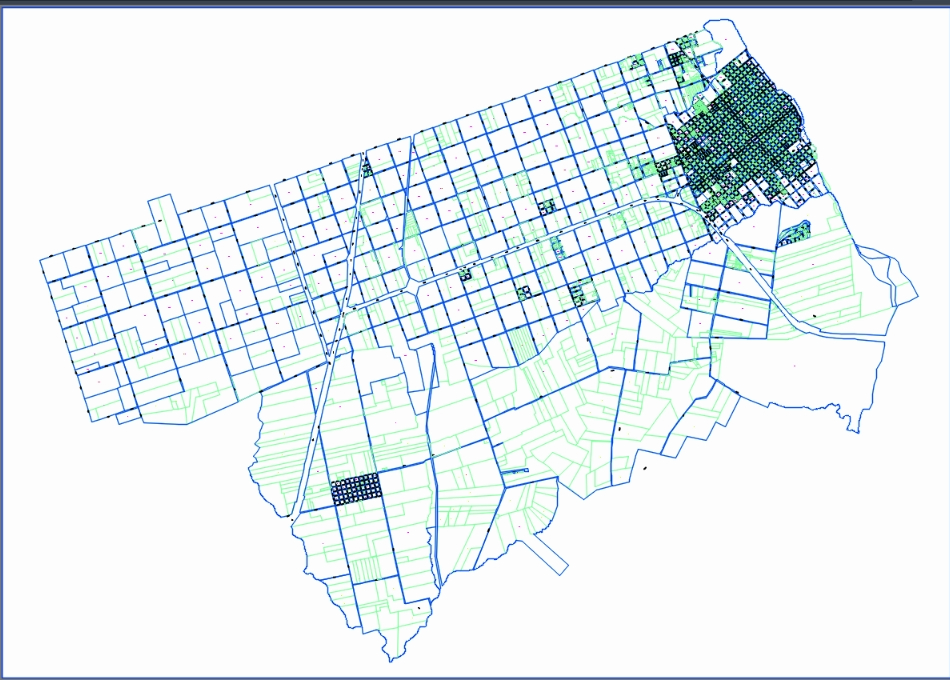
Cadastral map of the city of colón; province of entre ríos, argentina. with the urban sector and the municipal ejido - you can see blocks and plots with their designations; streets; concessions; national route no. 14; provincial route nº 135 to the artigas international bridge (colón - paysandú)

.")