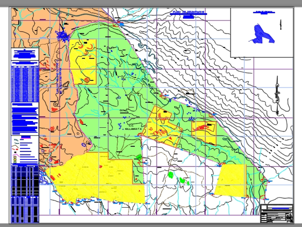
Delimitation of cusco-marked puma dwg
↑ Scroll ↓
This map is for public use provided by the national institute of culture of cusco to serve as a guide or consultation for carrying out work and/or studies in the area. it is an altimetric and planimetric plan with its topography and limits.
Cargando social...
Cargando report...
5kViews
Cargando tags...
Related works
By using this website, you agree to our Cookies policy.

