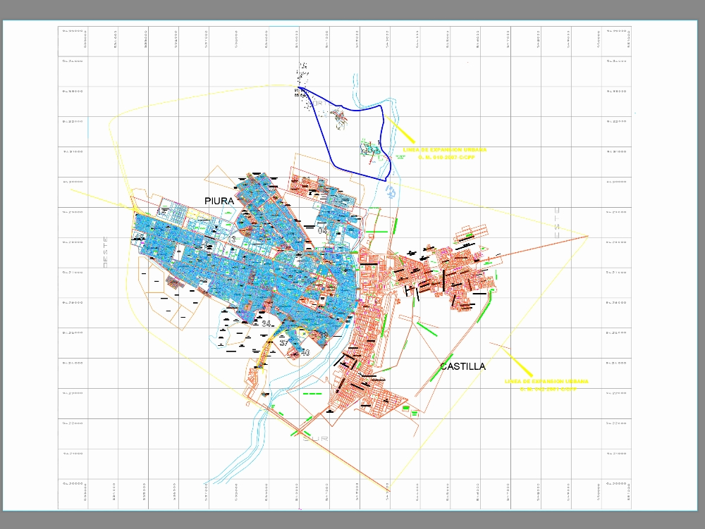
District of piura and castilla divided into lots dwg
↑ Scroll ↓
Detailed subdivision plan of the districts of piura and castilla; prepared in digital format; which includes the complete distribution of urban lots numbered sequentially. the cartographic document presents the updated urban structure with the official name of urbanizations; residential and commercial sectors. it incorporates the complete layout of the road network; including main avenues; secondary streets and passages; all duly identified with their official names. the scale of the plan allows to clearly visualize the land division; facilitating the precise location of each lot. this technical material is compatible with cad and gis systems; ideal for urban planning; municipal management and cadastral consultation.
Cargando social...
Cargando report...
4.6kViews
Cargando tags...
Related works
By using this website, you agree to our Cookies policy.

