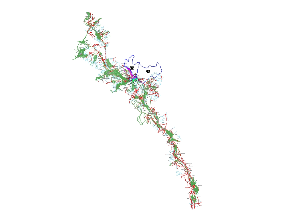
Georeferenced urcos dwg
↑ Scroll ↓
Design project for the georeferenced map of urcos and the vilcanota valley; according to graphical basis of public records and the special land titling project.
Cargando social...
Cargando report...
9.5kViews
Cargando tags...
Related works
By using this website, you agree to our Cookies policy.

