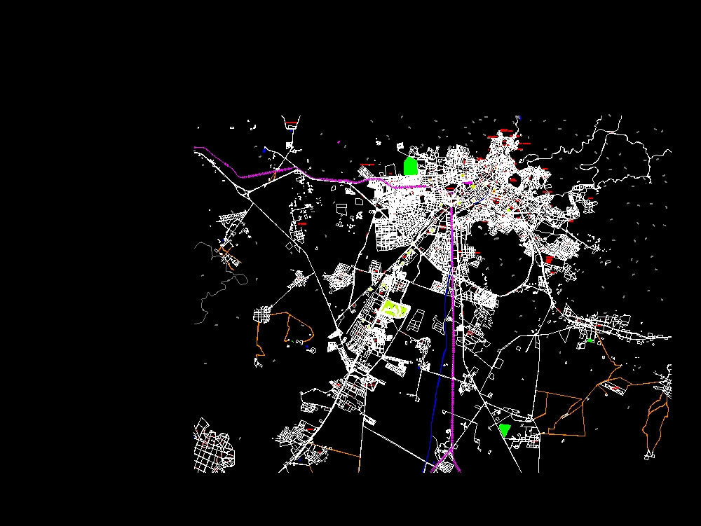
Hidalgo urbanization dwg
↑ Scroll ↓
The urbanization of pachuca hidalgo in the last decade; represented with heights and most important areas of the region; which was used to visualize the growth project of the region. autocad - dwg.
Cargando social...
Cargando report...
6.6kViews
Cargando tags...
Related works
By using this website, you agree to our Cookies policy.

