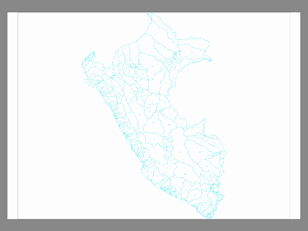
Hydrographic basin of peru zone 19 san antonio dwg
↑ Scroll ↓
A hydrographic basin is a geographic region delimited by watersheds; where all precipitation is collected and drained to a single point; generally a river; lake or sea. this area includes all tributaries; lands and ecosystems that contribute to the flow of water. watersheds are crucial for water management; since they affect the supply; the quality and distribution of water resources. factors such as topography; the weather; vegetation and land use influence its operation. watersheds also play a vital role in the biodiversity and ecological balance of a region.
Cargando social...
Cargando report...
1.8kViews
Cargando tags...
Related works
By using this website, you agree to our Cookies policy.

