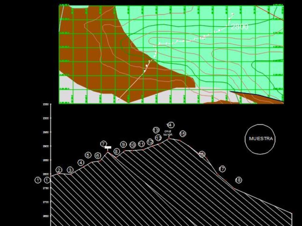
Longitudinal profile hill shaullo dwg
↑ Scroll ↓
In the following file the longitudinal profile of the hill shaullo was designed; located in the district of baths of the inca; cajamarca to do this, the topographical survey of the hill was carried out. it was used in the obtaining of the coordinates to a gps.
Cargando social...
Cargando report...
5.7kViews
Cargando tags...
Related works
By using this website, you agree to our Cookies policy.

