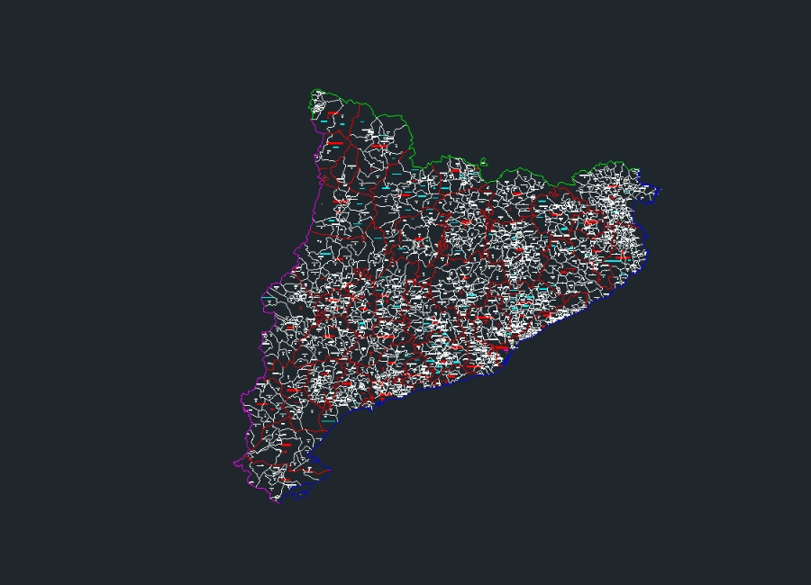
Map catalonia, spain dwg
↑ Scroll ↓
The file contains the map that shows the geographical limits of catalonia; including the provinces of barcelona; girona lleida and tarragona. must contain the main cities and towns; as well as the network of roads and highways that connect these population centers. it is also important to include hydrography; like rivers; lakes and the mediterranean coast.
Cargando social...
Cargando report...
3.6kViews
Cargando tags...
Related works
By using this website, you agree to our Cookies policy.

