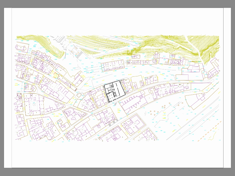
Map of alicante spain dwg
↑ Scroll ↓
A vector map of alicante in autocad is an accurate and editable graphical representation of the city that uses vector geometries (lines, polygons, points) to capture key details of its geographic and urban structure. this type of map is widely used in urban planning, architecture, engineering and graphic design because it allows working with a scalable and adjustable model.
Cargando social...
Cargando report...
3.7kViews
Cargando tags...
Related works
By using this website, you agree to our Cookies policy.

