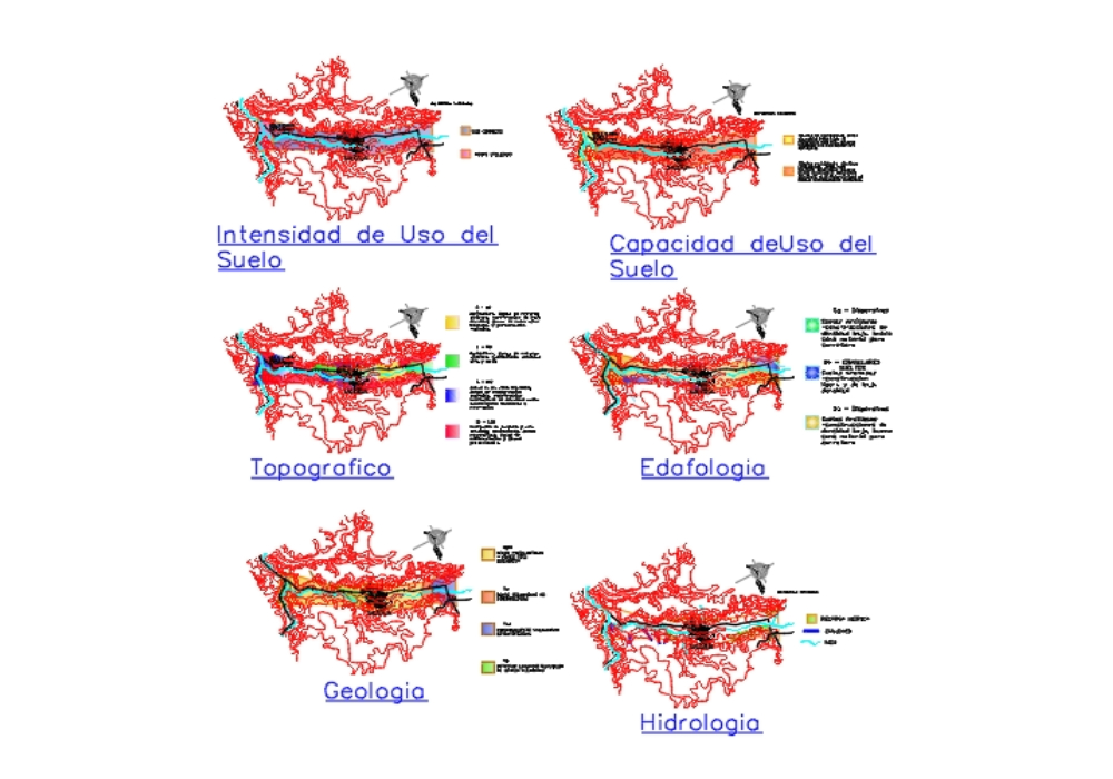
Territorial analysis of the surroundings of the town of salcajá with topographic maps; land use; land use capacity; edaphology; geology; and hydrology; useful as a guide for work with territorial analysis.
Confirma el mail en Facebook e intenta nuevamente.
Confirma el mail en Google e intenta nuevamente.
Your account is inactive. To request a reactivation you can contact us by email atsoporte@bibliocad.com.

.")