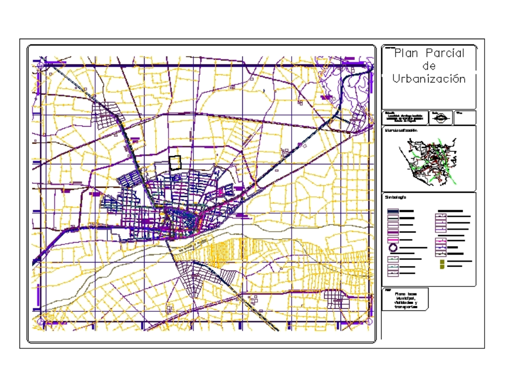
Partial plan urbanization dwg
↑ Scroll ↓
Base map municipal roads and transport; symbols and details, location of study area municipal, local land use, polygonal terrain to study, contour, area apple subdivision, drainage health; flush and flush tables
Cargando social...
Cargando report...
6.1kViews
Cargando tags...
Related works
By using this website, you agree to our Cookies policy.

