Peru dwg
↑ Scroll ↓
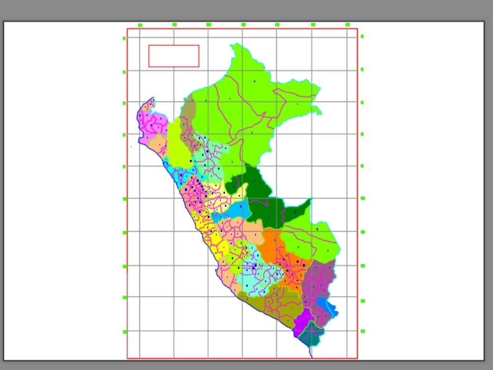
Political map of peru, presents distribution of provinces/districts. contains planimetry.
Cargando social...
Cargando report...
8kViews
Cargando tags...
Related works
By using this website, you agree to our Cookies policy.
Political map of peru, presents distribution of provinces/districts. contains planimetry.
Confirma el mail en Facebook e intenta nuevamente.
Confirma el mail en Google e intenta nuevamente.
Your account is inactive. To request a reactivation you can contact us by email atsoporte@bibliocad.com.
