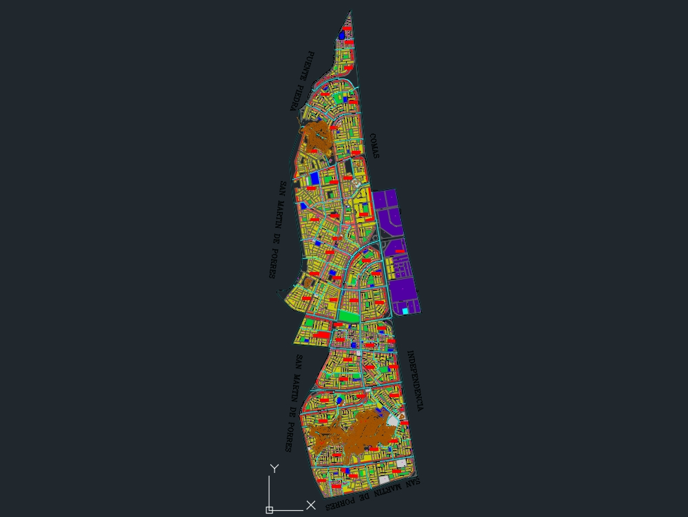
Urban planimetry that shows the existing land use in the district of miraflores to the year 2015, identifying the numbers of lots in the district, main roads and neighborhoods.
Confirma el mail en Facebook e intenta nuevamente.
Confirma el mail en Google e intenta nuevamente.
Your account is inactive. To request a reactivation you can contact us by email atsoporte@bibliocad.com.

.")