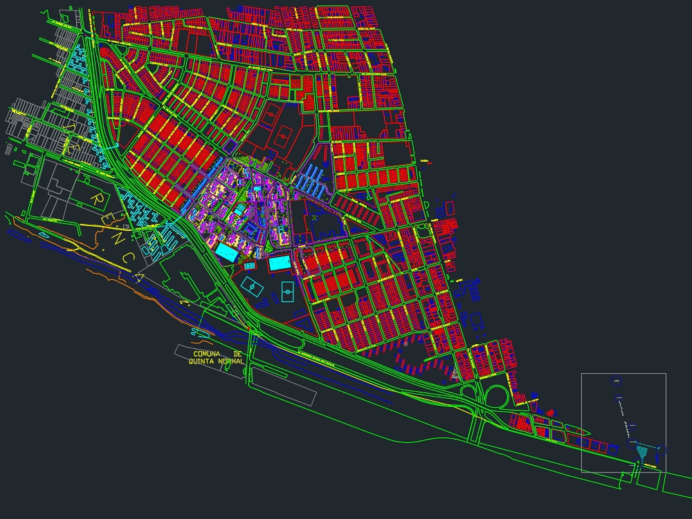
Population map juan antonio rios independence santiago chile dwg


It is flat in dwg format. it is a map of the juan antonio ríos population of santiago de chile focused on the blocks where the trees, parking lots, shadows and land taken are detailed.
Confirma el mail en Facebook e intenta nuevamente.
Confirma el mail en Google e intenta nuevamente.
Your account is inactive. To request a reactivation you can contact us by email atsoporte@bibliocad.com.