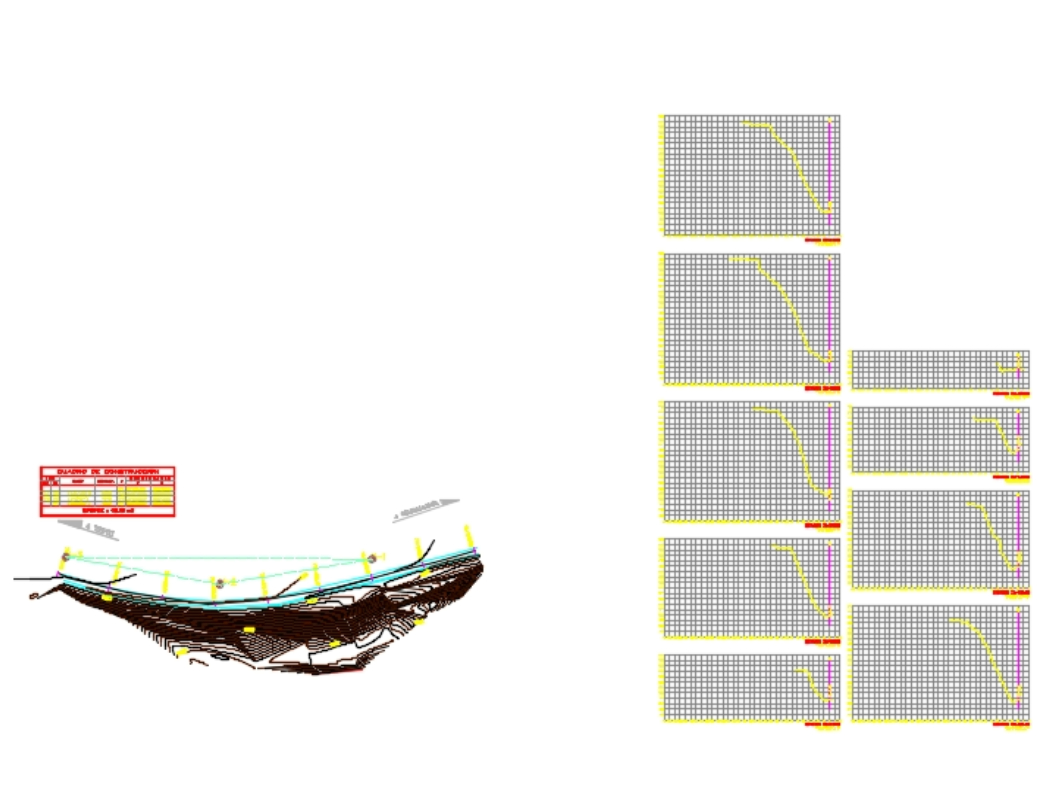
Sampling study slope dwg
↑ Scroll ↓
It is raised with a scanner to obtain sections every 10m and thus obtain the volumes of altimetry and planimetry of the place on the highway; contour lines appear every 50cm including ditches and highway lanes
Cargando social...
Cargando report...
6.4kViews
Cargando tags...
Related works
By using this website, you agree to our Cookies policy.

