
Set of maps of the region arequipa bmp
.")
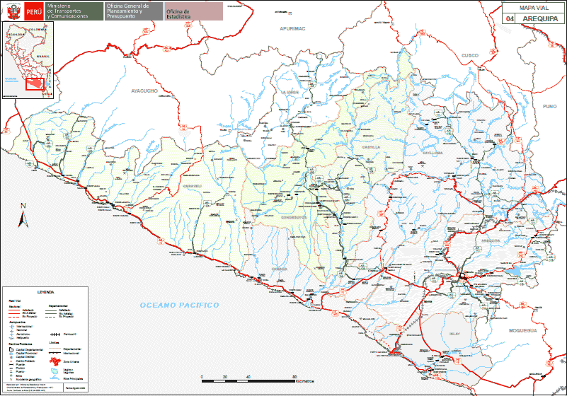
Road maps, ecological, geological, land use, vulnerability, forestry, hydrological and hydrographic of protected natural areas; turistico; physical - political, agricola and others. for the development of engineering and architecture projects, by their degree of size allows us to have a better understanding of the regional situation and the many factors affecting the development of a project.