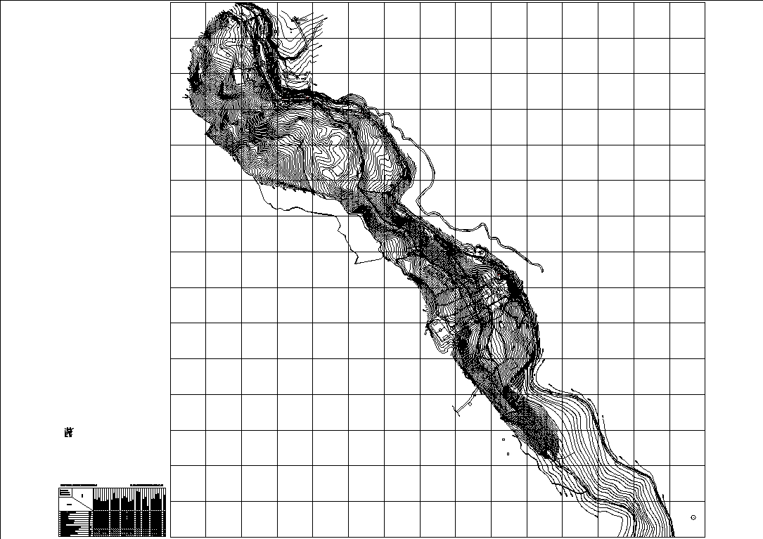
Topographic map of the chinchado district dwg
↑ Scroll ↓
Plan showing the contour lines of the area; acomayo and pachachupan; it could be used as a reference for the development of construction projects for the area; the urban distribution of the population centers of acomayo and pachachupan is also noted.
Cargando social...
Cargando report...
9.5kViews
Cargando tags...
Related works
By using this website, you agree to our Cookies policy.

