
Topographic map of the municipality of sibaté - cundinamarca dwg
.")
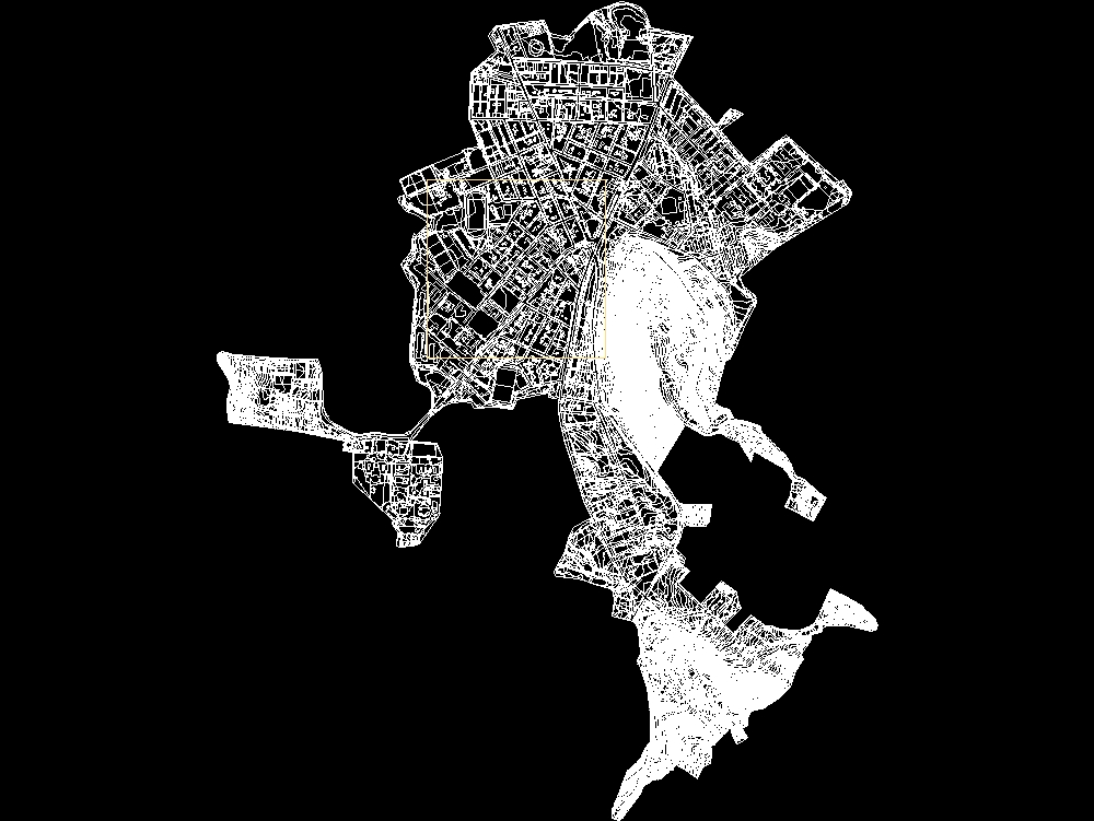
In the autocad map of the urban area of the municipality of sibaté you can see the streets; houses; parks and important buildings in the area. besides; contour lines are included that show the topography of the land in detail; making it easier to view the elevations and slopes of the area. these contour lines allow us to understand the distribution of the land and are fundamental for the design of infrastructure and urban planning. the plan provides an accurate and useful representation of the environment; being a valuable tool for decision-making and sustainable development of the municipality.