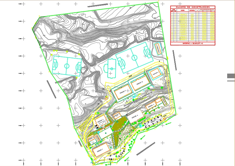
Topographic survey dwg
↑ Scroll ↓
Planimetric topographic survey, presents a table of buildings; orientation; coordinates; reticle and among other parameters. shows details and specific dimensions of each building as well as their elevations represented in curves at every meter and master curve at every 5 meters
Cargando social...
Cargando report...
9.5kViews
Cargando tags...
Related works
By using this website, you agree to our Cookies policy.

