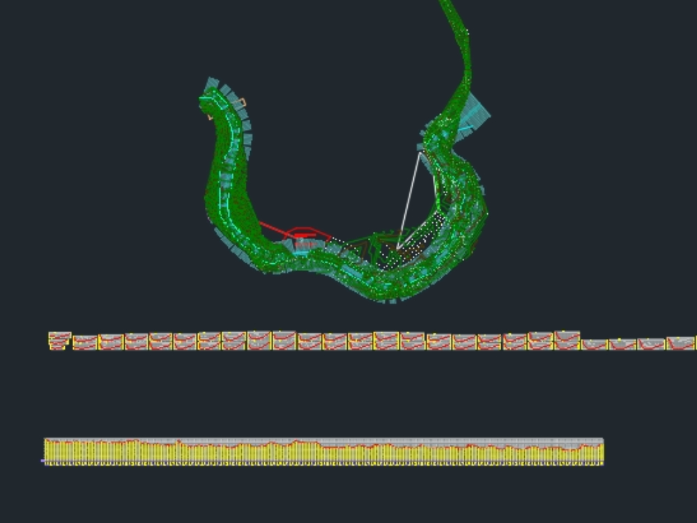
Topographic survey with cross sections and river profile for the design of a dam on the water's edge in guatemala. topographic survey of the road with its contour lines. made with civil design 2005; converted to autocad 2006.
Confirma el mail en Facebook e intenta nuevamente.
Confirma el mail en Google e intenta nuevamente.
Your account is inactive. To request a reactivation you can contact us by email atsoporte@bibliocad.com.
