
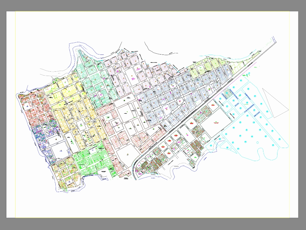
Urban cadastral map of aucayacu new dwg
.")
Urban cadastral map of aucayacu new, made in autocad. a cadastral map is a detailed graphic representation that shows the distribution; delimitation and characteristics of the lands and properties within a specific area. its main purpose is to serve as a tool for land management; urban planning; tax management and resolution of property conflicts.