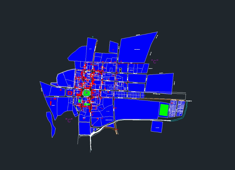
Geographically it belongs to the geographical region of the bolivian chaco. the town is located at the foot of the incahuasi hill; where it is connected by dirt roads to muyupampa; camiri and santa cruz de la sierra.
Confirma el mail en Facebook e intenta nuevamente.
Confirma el mail en Google e intenta nuevamente.
Your account is inactive. To request a reactivation you can contact us by email atsoporte@bibliocad.com.

.")