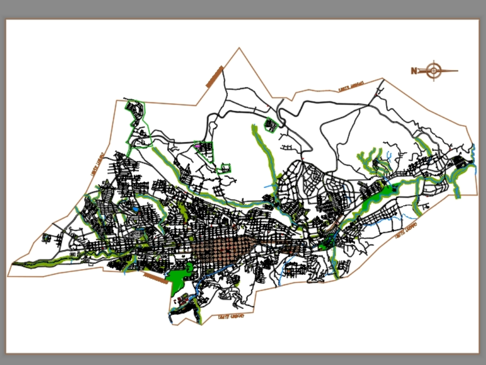
Urban plan of a city dwg
↑ Scroll ↓
Graphic representation of a city where main roads, secondary roads, blocks and water tributaries are shown; boundaries; among other components of its urban structure.
Cargando social...
Cargando report...
10kViews
Cargando tags...
Related works
By using this website, you agree to our Cookies policy.

