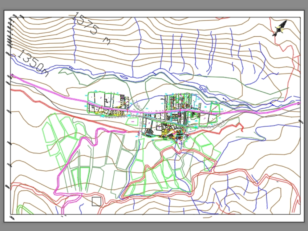
Urban plan of a city dwg
↑ Scroll ↓
Graphic representation of the city, where main roads, secondary roads, blocks, lots and contour lines are shown. presents general planimetry.
Cargando social...
Cargando report...
6.8kViews
Cargando tags...
Related works
By using this website, you agree to our Cookies policy.

