 Deutsche
 English
 Español
 Français
 Portugues
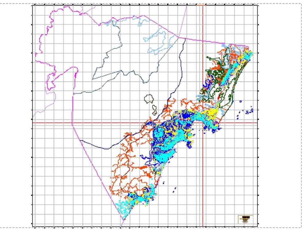
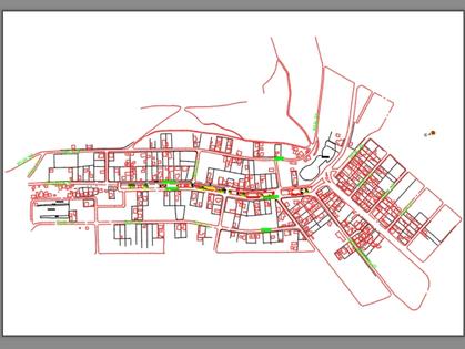
Guarapari map with contour lines dwg
.")
They are used to produce topographic maps to better capture the unevenness of a terrain. when a terrain has a large distance between contour lines, this represents a slight unevenness in the terrain. a smaller distance between them will represent a greater gap in the studied area. autocad.
Related works


Load more